Digital download
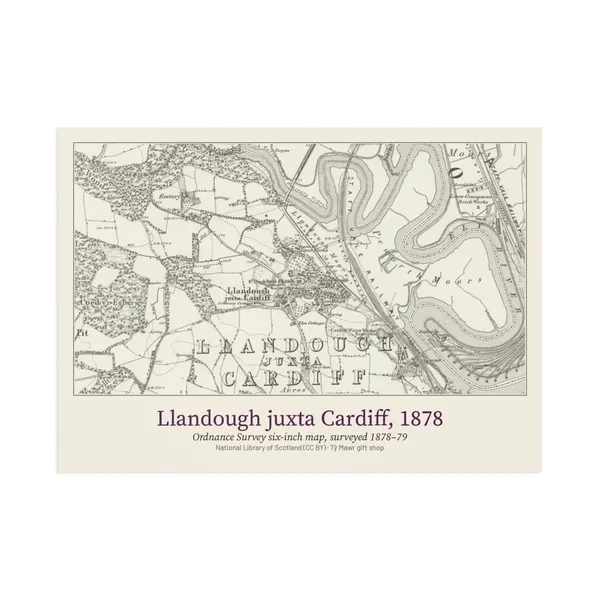
Cedwyn Estate · Four OS Maps of Llandough & Tŷ Mawr, 1878–1947 (PDF)
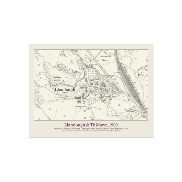
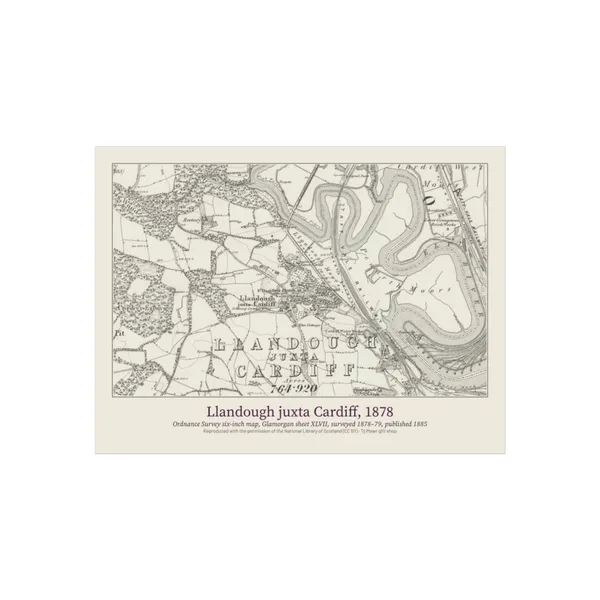
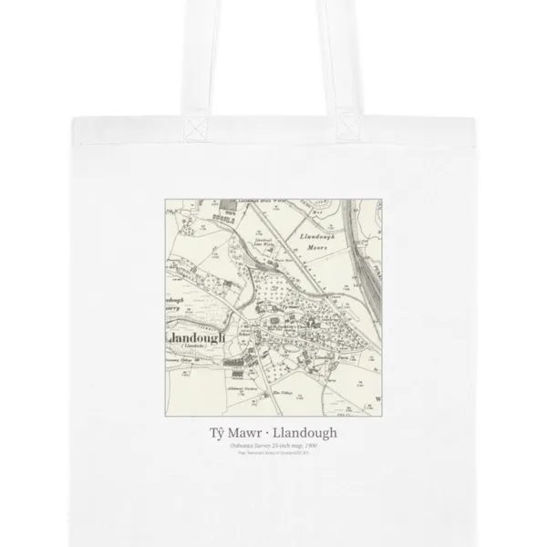
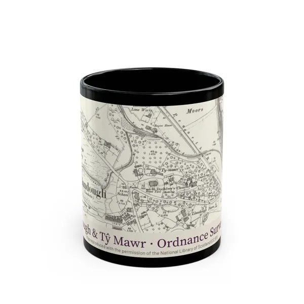
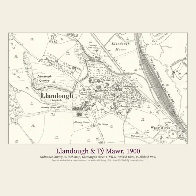
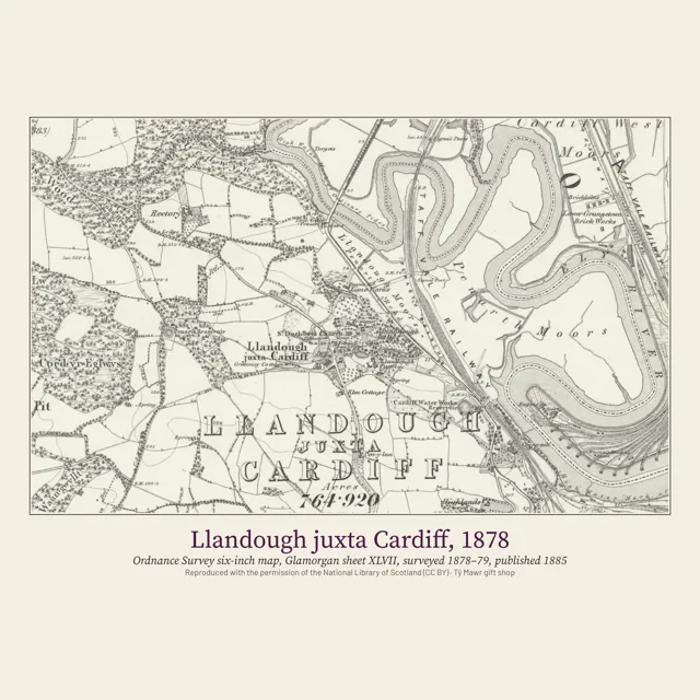
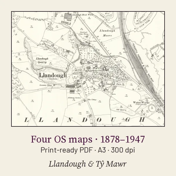
Four real Ordnance Survey maps of Llandough and Tŷ Mawr in one print-ready PDF: the six-inch map surveyed 1878–79, and the 25-inch maps of 1900, 1920 and 1947. Each is an A3 page at 300 dpi, cropped around the village and the farm and otherwise unchanged. The full sheets are free to view at the National Library of Scotland; this is a cropped, print-ready set. Maps reproduced with the permission of the National Library of Scotland (CC BY). Instant download after payment.
Buy · £4.99